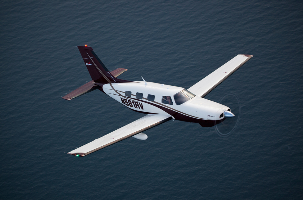
It acquires high resolution image information and it realistically produces topographic maps and ortho images.
Aerial photography
By obtaining not only high resolution image but also digital data which has infinite application range,
It is possible to provide diverse services required for land maintenance control
using air flight for aerial photography(Cessna TU 206G) and aerial digital camera(ADS80)
With abundant experience and research achievements, we own a number of patents and produce high-quality digital maps based on them.
Digital map production
By using skilled professionals and advanced optical equipment, digitalization system (DPS-DELTA)
We produce high quality digital maps.
It is possible to get a new work process that can simultaneously handle field research and map editing.
Chumdan Electronic Field Book
By utilizing Autolisp of AutoCAD
it is possible to implement functions needed for digital map editing and field book work
If it is possible to install Auto CAD
It would be a solution which has portable structure
Various GIS data services such as map data and satellite image in a variety of formats are supported.
Chumdan Map
It provides a Web client and viewer program
in which data in various formats can be viewed effectively
It also offers a soft development kit
that can produce application programs in Web and C/S environment.

